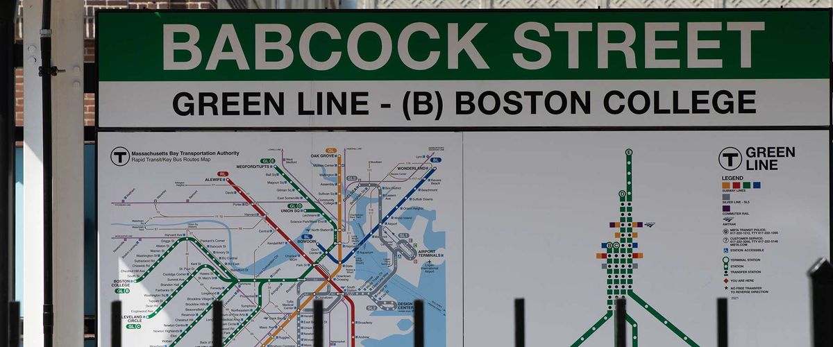
On Monday, October 27, the BU Metropolitan College City Planning & Urban Affairs (CPUA) program and BU Initiative on Cities hosted a pair of visitors sure to excite budding cartographers and public transit devotees curious as to just who it is that behind one of Boston’s most famous legends.
For more than two decades, Ken Dumas has made his mark on city workings by designing Boston’s MBTA transit maps. Mark Ovenden, author of Iconic Transit Maps: The World’s Best Designs, is a broadcaster and transit map design expert. Both were on hand that Monday afternoon at BU MET’s 1010 Commonwealth Avenue headquarters to discuss their expertise with CPUA students alongside moderator Terrance J. Regan. Dumas, the manager of the central transportation planning staff at the Boston Region Metropolitan Planning Organization (MPO), visited BU MET students in person, with Ovenden joining remotely.
It was a prime opportunity for CPUA students to get informed insights from rarified experts in the field. Dumas, who began working on the MBTA’s transit map in 1990, told the students that the reason the MBTA map appears geographically inconsistent is that it’s much easier for audiences to understand a map when things are evenly spaced out, even if that makes it somewhat literally inaccurate. Ovenden added that there must be room for “artistic license.” Ovenden also told the crowd that transit maps should be considered “part of the branding of the city.”
It made for a memorable afternoon of map-talk, as the conversation branched into the central utility of public transportation, like the “T.”
“Public transit is absolutely critical to a civilized society,” Ovenden said, striking an optimistic note. “Let’s look forward to a future with bigger and better cities with great public transit”
Learn more about the history of Boston’s transit map at the MBTA website.
