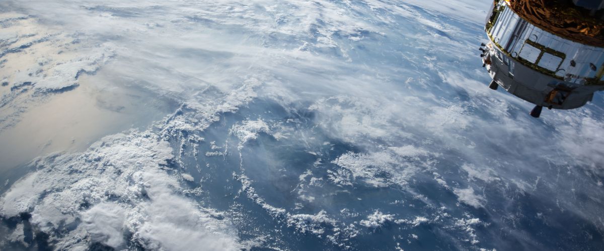
Remote sensing involves imaging of the Earth from aircraft or spacecraft at scales ranging from a few square kilometers to the entire globe. Images are formed from visible light as well as near-infrared light, thermal radiation, and microwave radiation, and thus extend well beyond the range of the human eye. The science of remote sensing involves extracting information from these images—for example, mapping vegetation properties over large areas. Geographic information systems (GIS) assist in the display and manipulation of spatial data—points, lines, or areas with associated labels or data values. GIS is widely used by public agencies and private firms that have large land holdings or spatially distributed operations.
Faculty with Related Research
Vegetation Dynamics and Climate
- Mark Friedl – land surface climatology, global land cover dynamics, remote sensing
- Ranga Myneni – vegetation remote sensing with satellite data and climate-vegetation interactions
- Curtis Woodcock – remote sensing, particularly monitoring of environmental change, terrestrial carbon dynamics, NASA Landsat Program
- Michael Dietze – terrestrial carbon cycle, ecological forecasting, data assimilation, nature-based climate solutions
- Lucy Hutyra – carbon cycle, urban heat islands, solar induced fluorescence
- Christoph Nolte – global land conservation, policy analysis, quantitative causal inference, data science for conservation decisions
Water and Air Quality Monitoring and Modeling and Climate
- Cédric Fichot – marine optics, remote sensing, coastal and estuarine biogeochemistry, photochemistry, water quality, NASA DEVELOP
- Jeffrey Geddes – atmospheric chemistry, air quality, remote sensing
- Magaly Koch – using GIS for groundwater resources and arid land change