Tuesday’s Snowstorm Was a Bust in Boston. Here’s Why It Was So Hard to Predict

Plow trucks like this one in Foxboro, Mass., were out in force Monday night and Tuesday morning, in preparation for snow that never really fell. Photo by Jonathan Wiggs/The Boston Globe via Getty Images
Tuesday’s Snowstorm Was a Bust in Boston. Here’s Why It Was So Hard to Predict
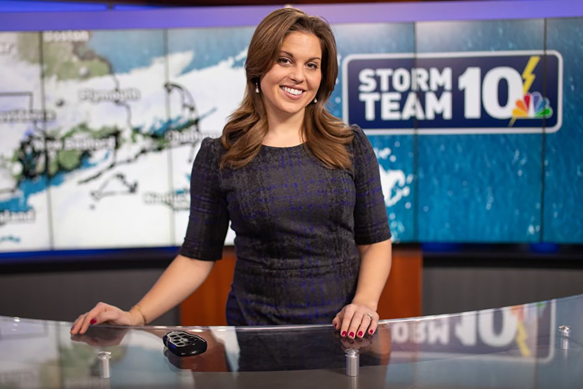
Christina Erne (COM’16), a meteorologist in Providence, R.I., says a perfect storm of factors collided to hype up Tuesday’s less-than-perfect storm
For anyone in the Boston area, Tuesday’s blizzard was, well, a bust. The highly anticipated nor’easter simply never materialized in eastern Massachusetts, instead shifting south, where the storm dumped 10 to 15 inches of snow on our neighbors in Connecticut and Rhode Island.
Still, in snow-starved Boston, the prospect of a real storm on the horizon spurred decisive action (perhaps prematurely, some may say) on Monday afternoon. School superintendents in districts across the metro area canceled classes, office managers encouraged employees to work remotely, and snowplow drivers worked into the night to ensure roads were salted, sanded, and safe.
So, why did Monday morning’s predictions change so drastically by Monday evening? According to Christina Erne (COM’16), the weekday meteorologist for NBC 10 News early am show Sunrise in Providence, R.I., a perfect storm of factors collided to hype up Tuesday’s less-than-perfect storm.
For starters, says Erne, no two storms are the same. “Even when we classify them the same way, even when they look similar, each storm has different properties within it—maybe a different low pressure, maybe wind is different, maybe the wind field is larger. And all those pieces are going to interact differently with the environment [the storm] moves into.”
Erne, like other meteorologists across the country, relies on sophisticated computer models to forecast how these various storm factors will interact to produce the weather we experience on the ground.
“Sometimes all the computer models we use agree on exactly what’s going to happen,” she says. “Other times, as was the case with this storm, there was really poor modeling. It wasn’t until about 18 hours before the actual storm moved in that our models came into alignment to show that it was going to be about 50 miles south of what the original forecast was calling for.”
But by then, of course, most municipalities had sprung into action. “In many cases,” Erne says, “I think people probably just made decisions too early this time.”
The computer models used by meteorologists are informed by historic weather and climate data, she says. That data, once reliable, has become less and less so as climate change wreaks havoc on local weather.
“What we typically would see is changing because of climate change. If typically a nor’easter works in with the temperature we had Tuesday,” Erne says, “we’d get a ton of snow. But three days prior, we had warm weather in the region. That dropped snow totals overall, because the roads warmed and snow didn’t stick. The norm is no longer the norm, and there needs to be a shift in these models.”
Another factor for the hype on Sunday and Monday was our personal technology, she suspects. Those early—and uncertain, she emphasizes—forecasts started pinging around social media with the speed and force of their own weather system.
“Sometimes in their excitement, people overlook that it still wasn’t a super confident forecast,” she says. “School officials decided to close schools 24 hours before the storm moved in and before the forecast was really set in stone.”
Although not a school superintendent, this writer can confirm Erne’s suspicion, at least anecdotally: “In the 36 to 48 hours before the storm was due to touch down, my phone was alight with all-caps text messages from friends and family eager for a proper snow day. I may have sent one or two of them myself.”
That excitement was part of it, too, Erne says. In Boston, where snow totals have been meager at best in the past several years, people may have been blinded by hope.
“When everyone is waiting with bated breath for that one storm, the scrutiny and disappointment are so much more intense,” she says. Indeed, it may be a while before snow-loving Bostonians should get their hopes up again: she says the models are showing higher-than-usual temperatures and lower-than-usual precipitation in the region for the rest of the season, resulting in “very isolated chances of seeing snow.”
Tuesday’s lackluster showing was disappointing for Erne and her colleagues as well as for the area’s snow-deprived children. “As meteorologists, we don’t want to be wrong,” she says. “It doesn’t benefit us to scare people about a big storm that never materializes.”
Despite climate change, weather forecasting has gotten much more accurate in the last couple of decades—where meteorologists once used to feel confident in a three-day forecast, today’s weather forecasters can confidently predict five or even seven days out—but it’s still just that: a prediction.
“If we got everything right 100 percent of the time, we’d be psychics,” she says.
Meteorologists like Erne and her peers work hard to wrangle complex models into a weather forecast they feel confident sharing, often comparing notes over fractions of an inch of precipitation to deliver the most accurate information they can.
It’s a stressful job, she says, as well as a true public service. She and her colleagues take great pains to be as transparent as possible. If they’re not super confident in a forecast, they’ll say so, as Erne did early Monday morning.
We just have to be sure to listen carefully before rushing out the door, sled in hand.
Comments & Discussion
Boston University moderates comments to facilitate an informed, substantive, civil conversation. Abusive, profane, self-promotional, misleading, incoherent or off-topic comments will be rejected. Moderators are staffed during regular business hours (EST) and can only accept comments written in English. Statistics or facts must include a citation or a link to the citation.