GPS Mapping
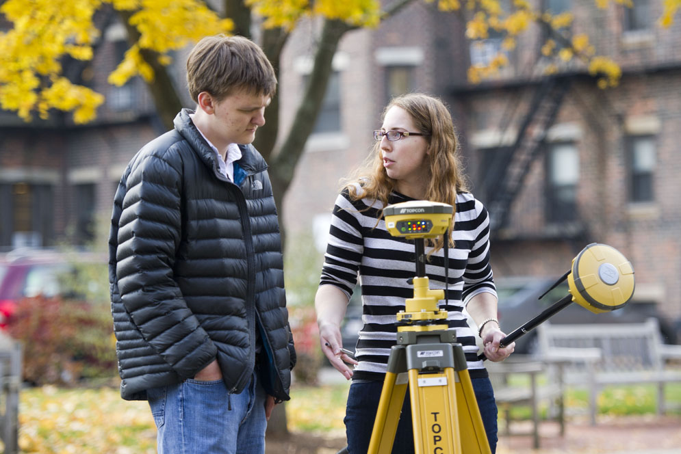
Map Quest: Sarah Farron (GRS’17) shows Phillip Purvis (CAS’17) how to use a Real Time Kinematics device, which enhances the precision data derived from satellite-based positioning systems, on November 12. Farron and Purvis are using the device to map a salt marsh. Photo by Cydney Scott
Comments & Discussion
Boston University moderates comments to facilitate an informed, substantive, civil conversation. Abusive, profane, self-promotional, misleading, incoherent or off-topic comments will be rejected. Moderators are staffed during regular business hours (EST) and can only accept comments written in English. Statistics or facts must include a citation or a link to the citation.