HOLMUL
GIS DATA
Download in Arcviewtm shapefile format
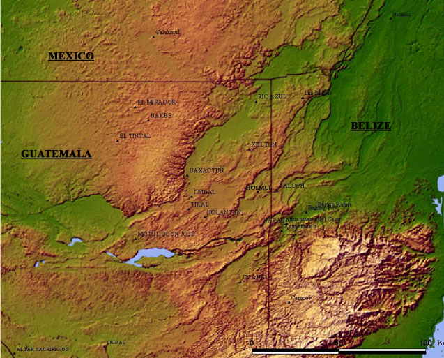 |
METADATA: GIS coverages created in GRASS GIS software by Dr.
Francisco Estrada-Belli form digitized 1:50,000 scale sheets of the
Instituto Geografrico Militar, Guatemala. Projection is UTM, datum
NAD27, spheroid clarke 1886. Maps were exported to Arcview using
the v.out.shape program in GRASS. Arcview files for each coverage are
grouped in zip archives.
|
|
|
RIVERS (2)  |
ROADS
|


